
Key Site Technical Considerations.
The design work by Barwood Land’s appointed professional team has been guided by a wide range of technical studies and assessments covering all key matters.
This in-depth analysis has identified a number of considerations and opportunities that have informed the scheme proposals. The creation of the illustrative masterplan will ensure a scheme which is both appropriate for the site and crucially, is deliverable in the short-term and underpins the outline planning application.
This work has identified a number of key considerations which are discussed below.
-
As demonstrated through the emerging Local Plan, Southam is considered to be a sustainable and suitable location for new residential development. The site is highly sustainable, being well related both local services, facilities, and employment opportunities and to existing built development and not being subject to any particular environmental or physical constraints.
The primary vehicular access into the site is proposed from Daventry Road, with a secondary access provided off Welsh Road East.
Every feasible opportunity will be made to connect the development with the town of Southam. There are opportunities on the northern, western, and southern boundaries of the site to provide additional pedestrian and cycle connections into Southam via existing footways. The site is within a 5-minute cycle ride of Southam and its many services and facilities. The scheme will also be designed to ensure that bus connections are deliverable.
-
The Environment Agency’s (EA) ‘Flood Risk from Rivers or Sea’ mapping shows that the majority of the site is located within Flood Zone 1. There are, however, areas of Flood Zone 2 and 3 located along the north-east boundary associated with the existing watercourse. The proposals have been carefully designed to avoid putting development parcels in these limited areas of flood risk.
Surface water flood mapping indicates that the site is predominantly located within areas of very low to low surface water flood risk. However, some areas associated with existing drainage features, topographic low points and surface water flow paths are shown to have a medium to high chance of surface water flooding.
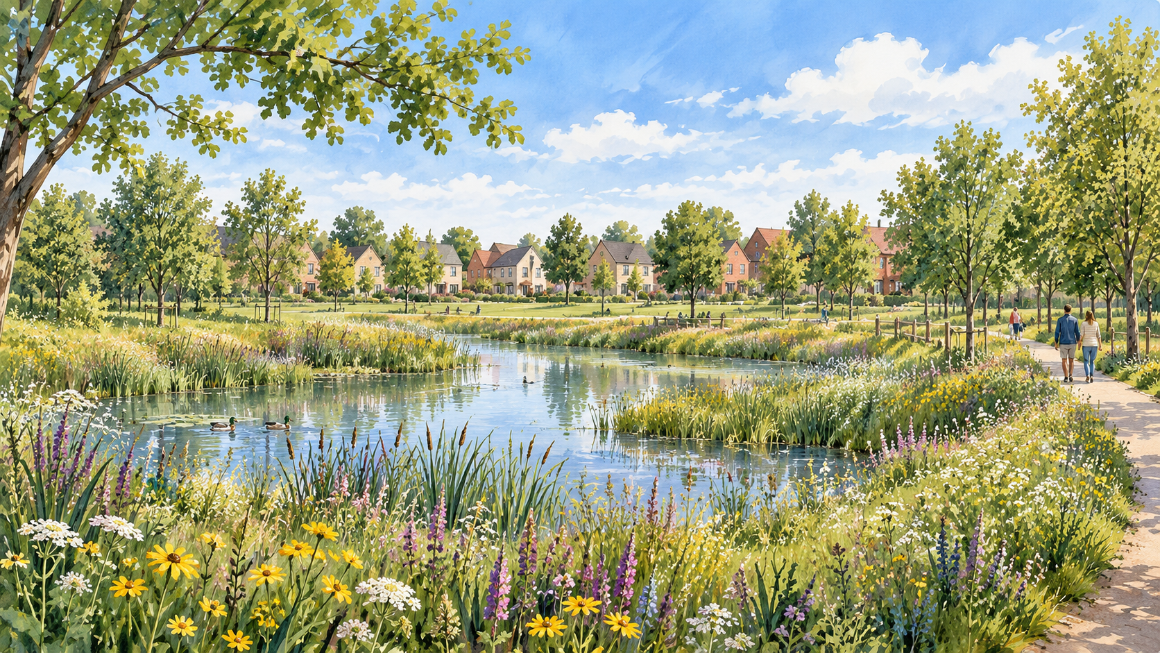
The proposed drainage scheme for the site comprises the inclusion of attenuation basins within the site in accordance with the requirements of the Local Lead Flood Authority. This ensures that the development will be safe for residents and would not result in flooding elsewhere.
-
The existing landscape has been a key consideration from the outset of the evolving masterplan process. The masterplan has been landscape-led with strategic buffers proposed to the east and southeast of the site.
The site is not subject to any specific landscape designations. Whilst it is recognised that the development will impact the immediate character of the site, the development would be seen from the wider area in the context of the existing residential development to the west.
Any potential landscape impact will be appropriately mitigated through the design of the proposed development with significant new planting and open areas with no development on the most sensitive parts of the site. As such new development can be accommodated within the site without significant landscape or visual impacts.
-
There are no designated heritage assets located within the site. However, consideration is being given within the design to the setting of the following listed buildings:
The Grade II Listed Napton Road Farmhouse, approximately 150m to the north of the site;
The Grade II Listed Lower Fields Farmhouse, approximately 160m to the east of the site; and
The Grade II Listed Napton Windmill, approximately 1.6km to the east of the site.
The Southam Conservation Area lies approximately 940m to the west of the site at its closest point. The site also contains ridge and furrow earthworks which form part of a wider non-designated heritage asset of low significance.
A geophysical survey has been completed to understand the extent of archaeology within the site. If required, further archaeological assessment will be undertaken, with the extent of this work to be discussed with the Council.
-
Ecological surveys have been undertaken in accordance with best practice guidance.
The Site comprises predominantly arable fields with areas of grassland bounded by native hedgerows and mature trees, together with localised scrub and ruderal vegetation. There are no statutory designated sites within 15km of the site.
A full suite of ecology surveys have been undertaken throughout 2026, with some bat and bird surveys still in progress.
The surveying undertaken to date has revealed no ecological impacts that would preclude the proposed development of this site. All potential impacts can be appropriately mitigated through a combination of licensing, precautionary working methods, and habitat creation and enhancement measures. Subject to the implementation of standard mitigation and enhancement practices, it is considered that ecological impacts associated with the development can be suitably avoided or mitigated. Furthermore, the proposed development will include the delivery of at least 10% Biodiversity Net Gain.
Mitigation will be embedded within the site layout and design, including retention and buffering of key habitats such as hedgerows and mature trees. The aim is to recognise key habitats and features of ecological value, including protected species, and seek to avoid and minimise impacts within the site.
Construction and long-term habitat management measures are anticipated to be secured through a Construction Ecological Management Plan and Habitat Mitigation and Management Plan.
-
All trees and hedges have been surveyed in order that appropriate root protection buffers can be incorporated to the most important and sensitive trees. There are no significant standalone trees within the fields that would be affected by the development. Nonetheless, mitigation measures will be implemented to ensure the preservation of any existing mature trees within the site.
Hedgerows contained within the site will be retained where possible and buffered to prevent adverse impacts on any protected species which may be present on the site.